Agriculture Monitoring
Paid
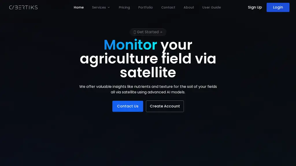
Cybertiks offers a robust solution for monitoring agriculture fields through satellite imagery, providing valuable insights such as nutrient levels and soil texture. Specializing in harnessing the power of satellite imagery, Cybertiks uses advanced AI models to analyze fields worldwide and deliver accurate metrics remotely. With key expertise in remote sensing and industrial requirements, Cybertiks integrates precise AI models trained on thousands of fields to ensure 80% accuracy in the analysis.
Users can easily sign up, input field coordinates, and receive regular analysis updates every 7 days, along with historical insights and field status monitoring. Behind the scenes, Cybertiks employs sensor fusion to integrate multiple data sources and provide clients with a comprehensive strategic vision, all done through convenient data presentation methods. From mineral element detection to classification and quantification, Cybertiks' AI tool, called QSIS, utilizes thermodynamic information and quantum-enabled artificial intelligence to identify, classify, and measure natural resources and minerals.
In addition to its field monitoring capabilities, Cybertiks also offers software development services for custom solutions, backed by years of experience in delivering innovative projects with a strong focus on AI accuracy and client-tailored solutions.
Not reviewed yet
Field monitoring through satellite imagery
Utilizes advanced AI models for analysis
Provides accurate metrics remotely
Integrates precise AI models trained on thousands of fields
Utilizes sensor fusion to integrate multiple data sources
Monitor agriculture fields globally using Cybertiks' AI tool, QSIS, to analyze nutrient levels, soil texture, and provide accurate insights remotely through satellite imagery, ensuring 80% accuracy in the analysis.
Receive regular updates and historical insights on field status every 7 days with Cybertiks' field monitoring AI tool, integrating sensor fusion to deliver comprehensive strategic vision based on multiple data sources and convenient data presentation methods.
Utilize Cybertiks' AI tool for mineral element detection, classification, and quantification, leveraging thermodynamic information and quantum-enabled AI to identify, measure, and classify natural resources and minerals with precision.
No promo codes available
Not rated by users yet
For social proof, the following badge embedding HTML code can be copied onto the tool website's homepage or footer. Badges can validate the tool to potential customers.
Revolutionizing agriculture with per-tree intelligence.
AI-powered geospatial solutions for people, purpose & planet
Open SOCaaS AI-based Security on autopilot
Drowning in security reports? Dive into Insights with Cyber
Transform CCTV systems with intelligent AI-powered surveillance.
Empower AI models with better, scalable and legal data